Places to Visit
Moura's Meridian Marker
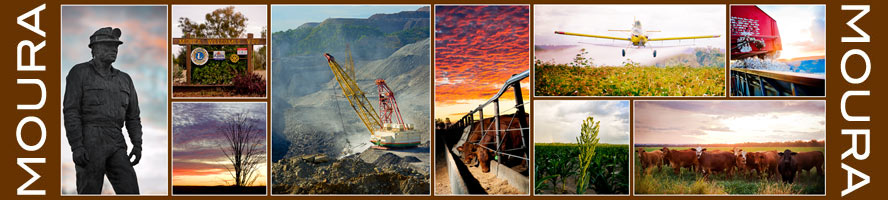
Located 1km East of Moura on the Dawson Highway, the 150th Meridian marker shows the position of the imaginary line (150 °E) on which Queensland (Eastern Standard) time is based.
At the time of the equinox, a day is exactly 12 hours long anywhere on the Meridian line.
The meridian line in Greenwich represents the Prime Meridian of the world, Longitude Zero (0° 0' 0").
Every place on the Earth is measured in terms of its angle east or west from this line.
'Holey rocks' like the ones at the Meridian Marker can be found all around Moura. They are a product of the process used for blasting of rock in Coal Mining.
Take a sighting through the holes and you're looking along the 150th Meridian.